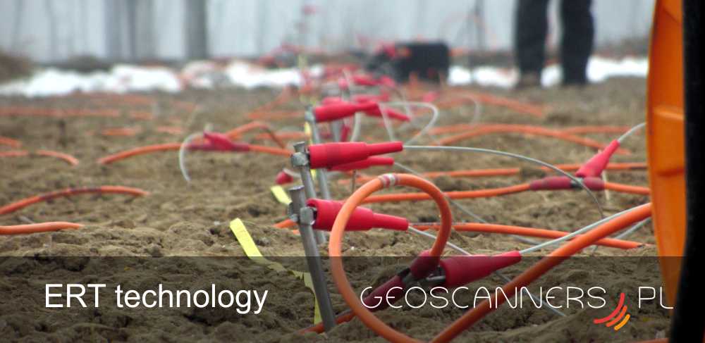
Electrical Resistivity Tomography
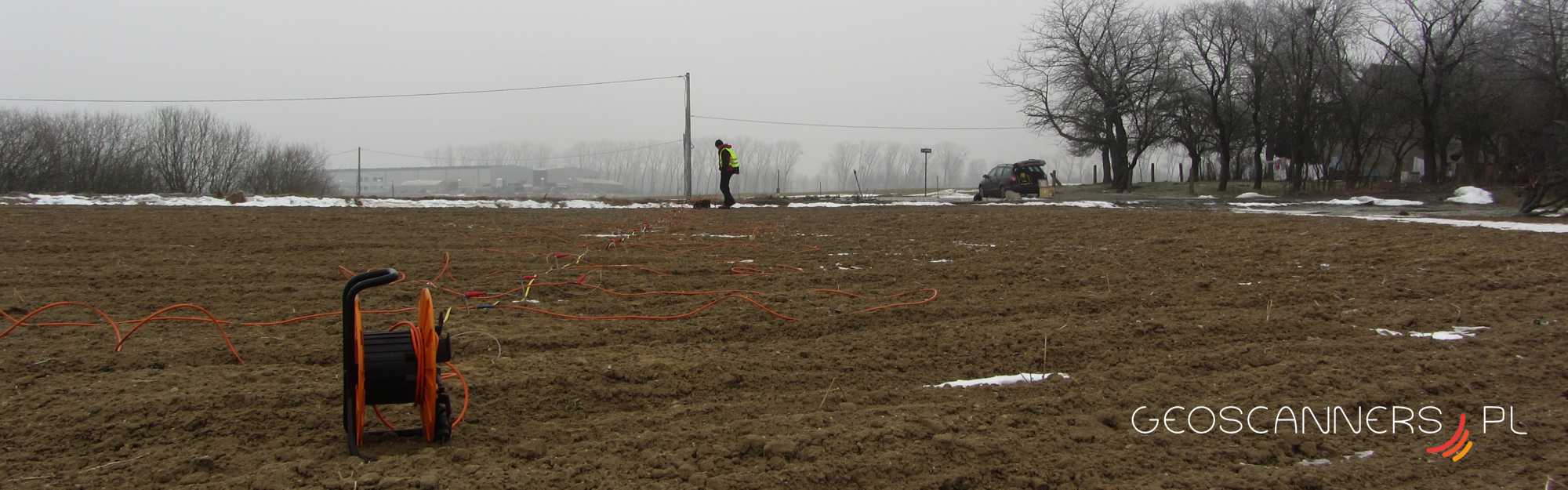
As a second geophysical services we provide Electrical Resistivity Imaging which gives us alternative for Ground Penetrating Radar method. ERT we can use in places where is high conductive structures and radio wave transmitted from GPR are attenuated.
ERT also can be use for deep geological mapping, ground water exploration and geophysical archaeological prospection. We cooperate also with companies which carry out Horizontal Direct Drilling.
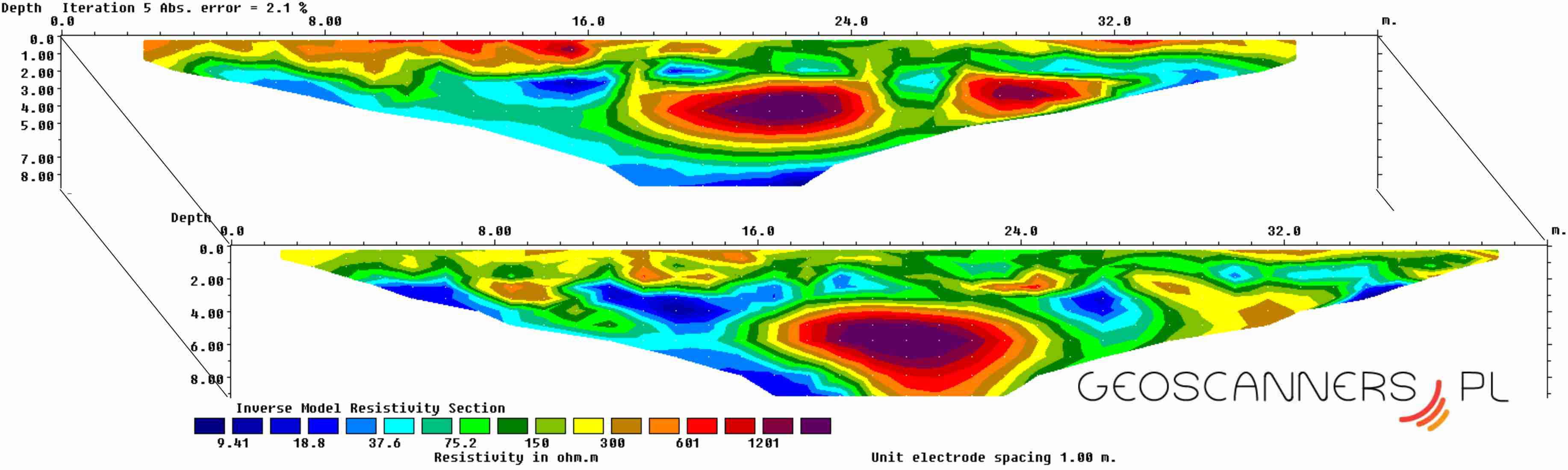
ERT method is common used in:
– geological mapping and prospection
– ground water exploration
– ground monitoring of pollution and contamination
– mineral exploration
– archaeological prospection
– bed rock mapping
– cavity and voids detection
– permafrost investigation
Michał Dąbrowski
Geophysicist / Manager
e-mail: biuro@geoscanners.pl
mob: +48 796 837 252